 |
|
Contact person: Sergey Stanichny
| Picture | Date | Satellite | Image size |
|---|---|---|---|
 |
17 Jul 2004 | MODIS-TERRA | 2860x3204 (1.22 MB) |
 |
15 Aug 2004 | MODIS-TERRA | 2860x3204 (901.96 KB) |
 |
30 Aug 2004 | MODIS-TERRA | 2860x3204 (1.02 MB) |
 |
01 Jun 2006 | MODIS-TERRA | 2860x3204 (1.22 MB) |
 |
19 May 2007 | MODIS-TERRA | 2288x2403 (617.78 KB) |
 |
02 Jan 2008 | MODIS-TERRA | 2860x3204 (805.48 MB) |
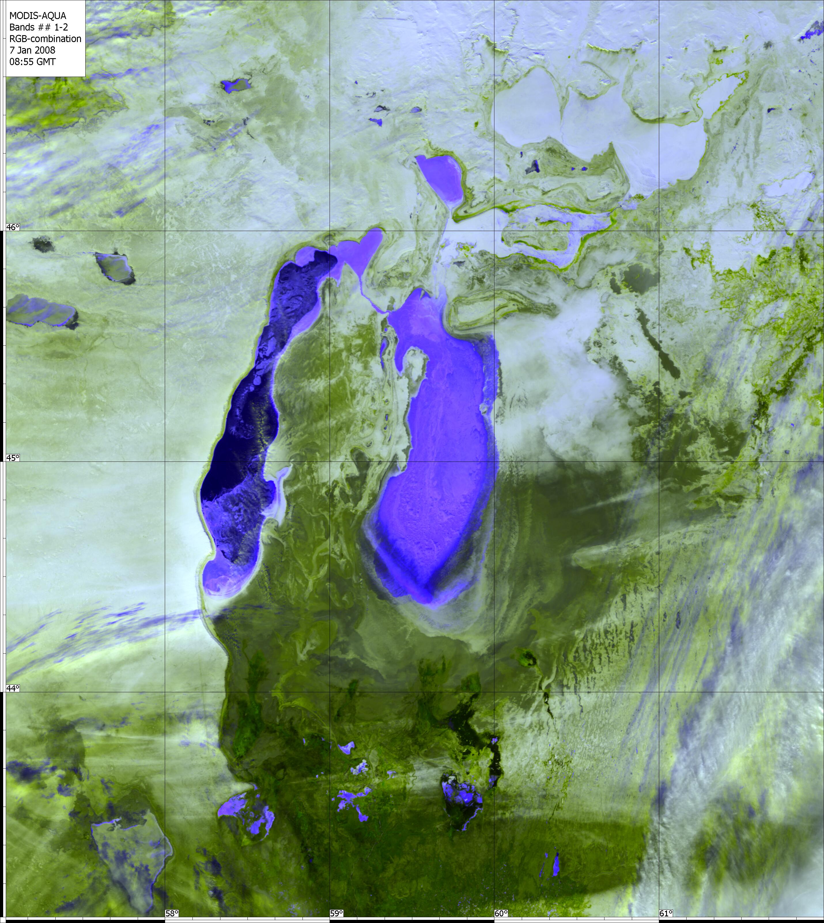 |
07 Jan 2008 | MODIS-AQUA | 2860x3204 (935.31 MB) |
 |
23 Jan 2008 | MODIS-TERRA | 2288x2403 (547.08 KB) |
 |
15 Feb 2008 | MODIS-TERRA | 2288x2403 (569.75 KB) |
 |
28 Feb 2008 | MODIS-TERRA | 2288x2403 (610.94 KB) |
 |
09 Mar 2008 | MODIS-TERRA | 2288x2403 (589.65 KB) |
 |
18 Mar 2008 | MODIS-TERRA | 2288x2403 (616.60 KB) |
 |
25 Mar 2008 | MODIS-TERRA | 2288x2403 (488.23 KB) |
 |
09 Apr 2008 | MODIS-TERRA | 2288x2403 (603.13 KB) |
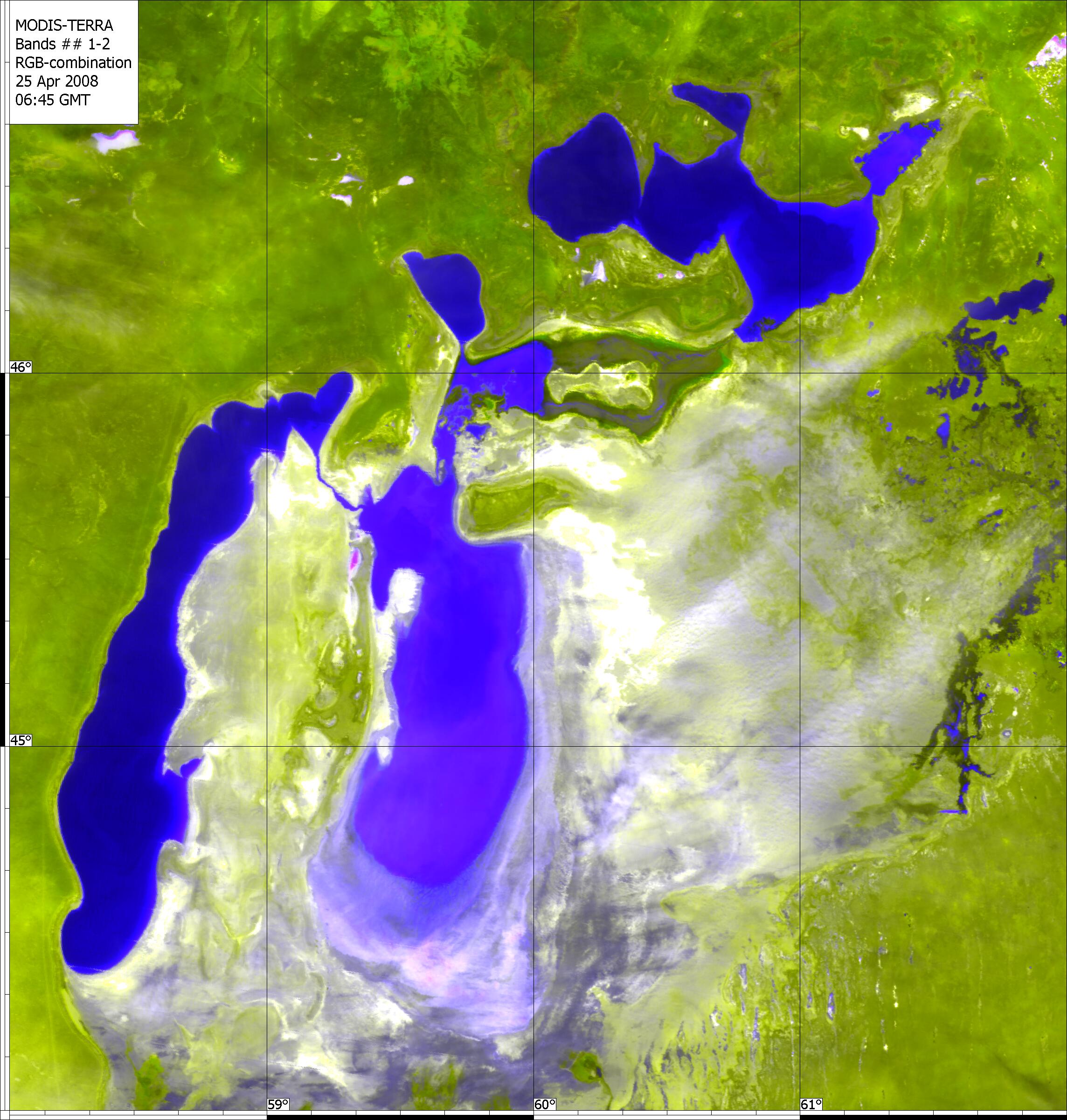 |
25 Apr 2008 | MODIS-TERRA | 2288x2403 (543.87 KB) |
 |
28 Apr 2008 | MODIS-TERRA | 2288x2403 (491.49 KB) |
 |
07 May 2008 | MODIS-TERRA | 2288x2403 (711.74 KB) |